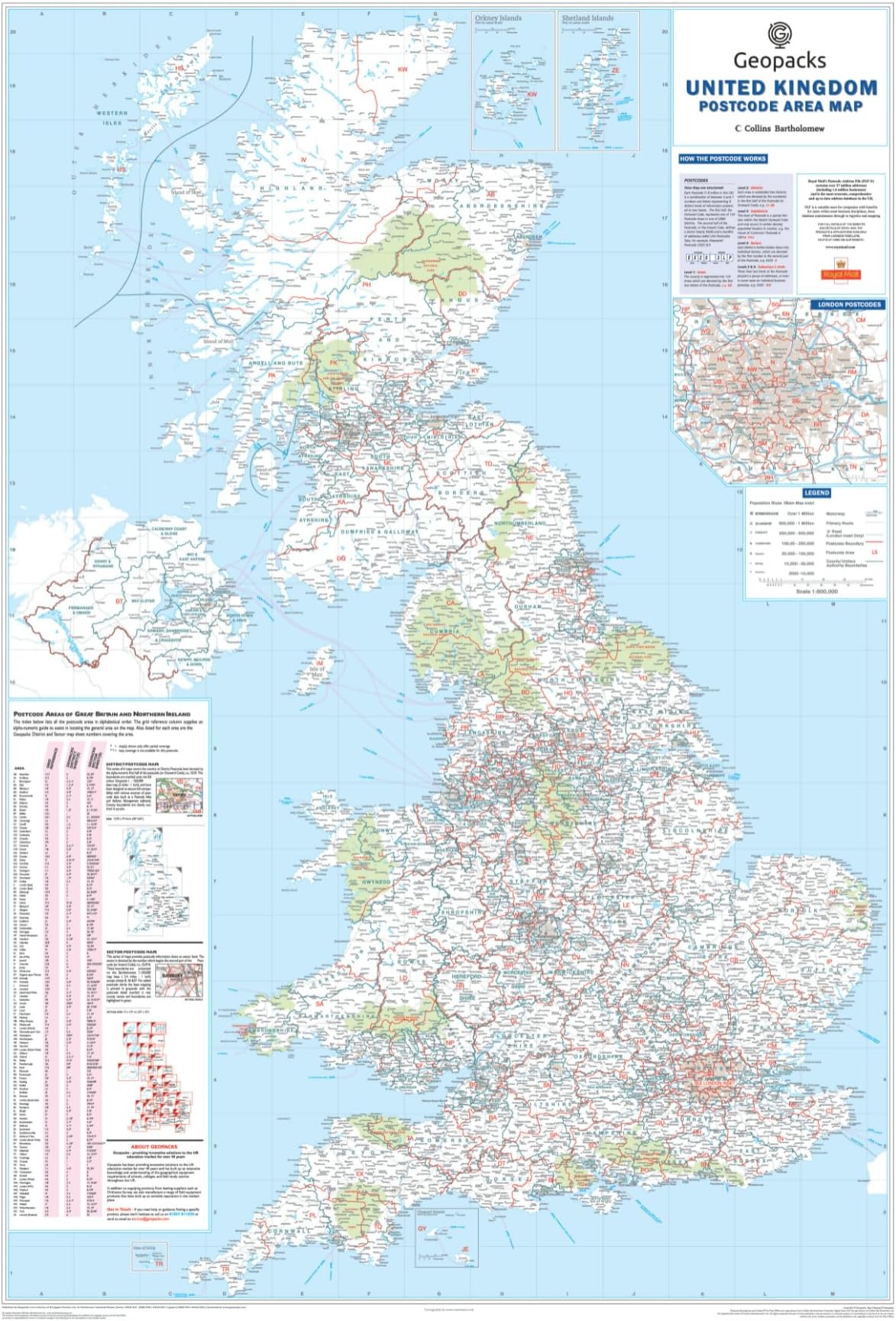
Description
🗺️ Own the UK map that means business and adventure!
- ALWAYS UP TO DATE - Latest administrative changes and road networks included for reliable reference
- BUILT TO LAST IMPRESS - Laminated, tear-resistant, and wipe-clean surface for long-term use
- ULTIMATE NAVIGATION AID - Integrated 2026 road maps with motorways & transport hubs clearly marked
- GIFT THE EXPLORERS DREAM - Stylish 3D wall art perfect for travelers and professionals who value detail
- PINPOINT PRECISION BOUNDARIES - Accurate county, district & postcode lines for expert planning
This large, laminated UK postcode wall map (830 x 1200mm) offers detailed county, district, and postcode boundaries alongside the latest 2026 road networks. Waterproof and tear-resistant, it’s designed for durability and easy cleaning, making it ideal for home or office use. Perfect for professionals, travelers, and planners who demand precision and style in one striking wall display.